
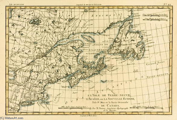
Eastern Canada, Newfoundland, Nova Scotia And St John Island, From 'atlas De Toutes Les Parties Conn
Vintage map of New France by Rigobert Bonne (1727-1795). Detailed 18th-century cartography showcasing Newfoundland, Nova Scotia & St John Island. Hand-colored engraving.
rigobert bonne (charles marie rigobert bonne)
Explore the cartographic artistry of Rigobert Bonne (1727-1795), renowned for his innovative map projections & detailed 18th-century world maps. Discover his contributions to geography and exploration through stunning visual representations.