
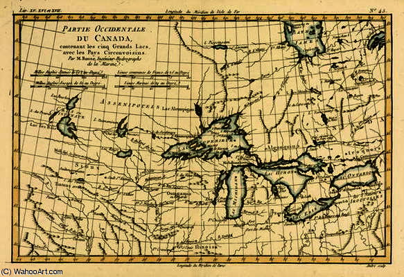
Western Canada, including the Five Great Lakes, from 'Atlas de Toutes les Parties Connues du Globe T
Discover Rigobert Bonne’s antique map of Western Canada & the Great Lakes (1795). A detailed, hand-drawn topographical chart in faded colors – a rare glimpse into 18th/19th-century cartography.
rigobert bonne (charles marie rigobert bonne)
Explore the cartographic artistry of Rigobert Bonne (1727-1795), renowned for his innovative map projections & detailed 18th-century world maps. Discover his contributions to geography and exploration through stunning visual representations.