Menü
Kostenlose Kunstberatung

Zeitraum

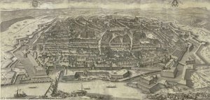
  1. Bird — Jakob Hoefnagel, 1683
  2. Van Langren, H. F., Extra & Accurata Delinerarie World Map — Hendrik Floris van Langren, 1595
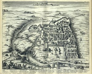
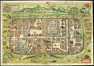
  3. Map of Jerusalem — olfert dapper, 1677
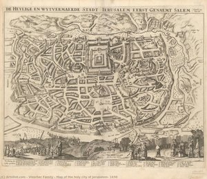
  4. Map of the holy city of Jerusalem, 1650 — visscher family, 1650
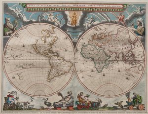
  5. Le Grand Atlas, or, Cosmographie Blauiane\n\nNova et Accuratissima Totius Terrarum Orbis Tabula — Johannes Blaeu
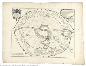
  6. Map of Maastricht — Charles Hubert Jalliot, 1673

Bewegung

  1. Bird — Jakob Hoefnagel, 1683
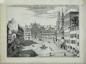
  2. Egidienplatz (formerly Dillinghof) Looking North, with Pellerhaus and the Romanesque Egidienkirche. — Johann Andreas Graff, 1682
  3. Map of Jerusalem — olfert dapper, 1677
  4. Map of Maastricht — Charles Hubert Jalliot, 1673
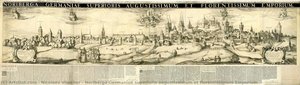
  5. Noriberga Germaniae superioris augustissimum et florentissimum Emporium — Nicolaes Visscher, 1660

Stimmung

  1. Bird — Jakob Hoefnagel, 1683
  2. Van Langren, H. F., Extra & Accurata Delinerarie World Map — Hendrik Floris van Langren, 1595
  3. Map of Jerusalem — olfert dapper, 1677
  4. Map of the holy city of Jerusalem, 1650 — visscher family, 1650
  5. Map of Jerusalem — Christian Kruik Van Adrichem, 1584
  6. Le Grand Atlas, or, Cosmographie Blauiane\n\nNova et Accuratissima Totius Terrarum Orbis Tabula — Johannes Blaeu
  7. Map of Maastricht — Charles Hubert Jalliot, 1673

Themen

  1. Map of Jerusalem — olfert dapper, 1677
  2. Egidienplatz (formerly Dillinghof) Looking North, with Pellerhaus and the Romanesque Egidienkirche. — Johann Andreas Graff, 1682
  3. Map of Maastricht — Charles Hubert Jalliot, 1673
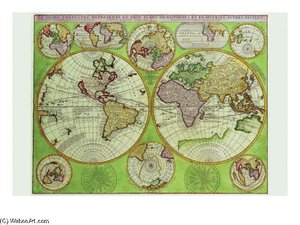
  4. Coronelli Stereographic World Map With Insets Of Polar Projections — Vincenzo Maria Coronelli
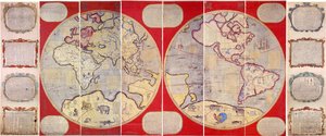
  5. Map of the World — Ferdinand Verbiest, 1674
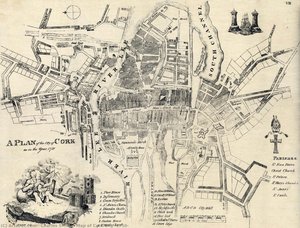
  6. Map of Cork City (1750) — charles smith, 1750
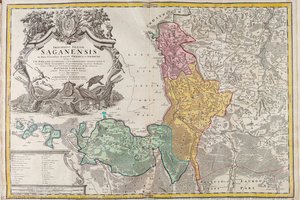
  7. Principatus Silesiae Saganensis in suos circulos Sagan, Priebus et Naumburg divisi — Johann Wolfgang Wieland, 1752
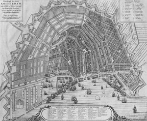
  8. Map Of Amsterdam — Cornelis Der Ältere Danckerts

Schlagworte

Tonwert

  1. Van Langren, H. F., Extra & Accurata Delinerarie World Map — Hendrik Floris van Langren, 1595
  2. Map of Jerusalem — olfert dapper, 1677
  3. Map of Maastricht — Charles Hubert Jalliot, 1673

Hauptfarbe

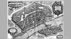
  1. Frankfurt Am Main Bird Review Plan — Matthäus Merian Der Ältere
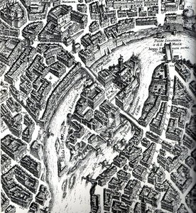
  2. Isola tiberina — Giovanni Battista Falda
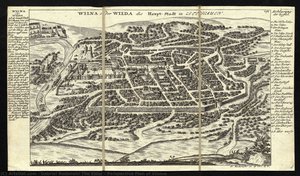
  3. Perspective Plan of Vilnius — Gabriel Bodenehr I, 1720
  4. Bird — Jakob Hoefnagel, 1683
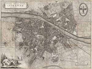
  5. Pianta Della Citta Di Firenze — Ferdinando Ruggieri
  6. Coronelli Stereographic World Map With Insets Of Polar Projections — Vincenzo Maria Coronelli
  7. Map of Jerusalem — Christian Kruik Van Adrichem, 1584
  8. Map of Jerusalem — olfert dapper, 1677
  9. 's Map Of Basel — Matthäus Merian Der Ältere
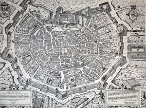
  10. Milan Topography on (1573) — Antonio Lafreri

andere

  1. Amersfoort — Georg Hoefnagel, 1588
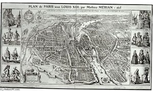
  2. Birds Eye Plan Of Paris — Matthäus Merian Der Ältere
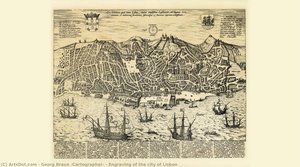
  3. Engraving of the city of Lisbon — Georg Braun, 1598
  4. Map of Poland and Silesia by J. Blaeu and W.J. Blaeu — Willem Blaeu, 1647