Menü
Kostenlose Kunstberatung

Bewegung

Stimmung

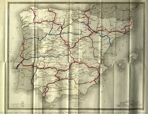
  1. Project of general navigation lines and railways in the Spanish peninsula — Francisco Coello de Portugal y Quesada, 1855
  2. Van Langren, H. F., Extra & Accurata Delinerarie World Map — Hendrik Floris van Langren, 1595
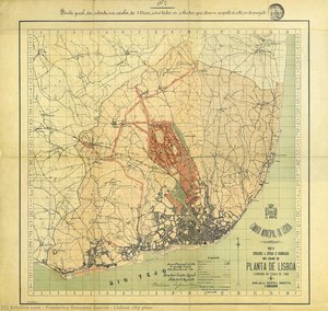
  3. Lisboa city plan — frederico ressano garcia, 1903
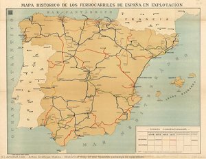
  4. Historical map of the Spanish railways in operation — Artes Gráficas Mateu, 1918
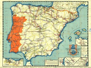
  5. Map of the railways in operation, under construction and in the works in Spain (1931 edition) — Alfredo Forcano Catalán, 1931

Schlagworte

Tonwert

  1. Van Langren, H. F., Extra & Accurata Delinerarie World Map — Hendrik Floris van Langren, 1595
  2. Lisboa city plan — frederico ressano garcia, 1903
  3. Historical map of the Spanish railways in operation — Artes Gráficas Mateu, 1918
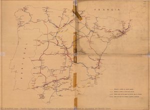
  4. Map of the railways in operation, under construction and in the works in Spain (1931 edition) — Alfredo Forcano Catalán, 1931

Hauptfarbe

  1. Information on ballast replacement or increase on Renfe lines — renfe operadora, 1940
  2. Lisboa city plan — frederico ressano garcia, 1903
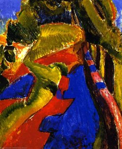
  3. Fauve Landscape with Red and Blue — Alfred Henry Maurer, 1906
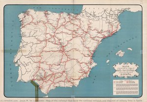
  4. Map of the railways that form the national network and the rest of railway lines in Spain — Jesús M. de la Fuente, 1946
  5. Carta Hydrographica y Chorographica de las Yslas Filipinas (Hydrographic and Chorographic Map of the Philippines) — pedro murillo velarde y nicolás de la cruz bagay
  6. Historical map of the Spanish railways in operation — Artes Gráficas Mateu, 1918
  7. Project of general navigation lines and railways in the Spanish peninsula — Francisco Coello de Portugal y Quesada, 1855
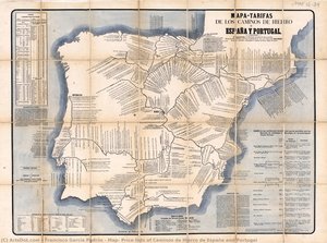
  8. Map- Price lists of Caminos de Hierro de España and Portugal — Francisco García Padrós, 1867
  9. Map of Poland and Silesia by J. Blaeu and W.J. Blaeu — Willem Blaeu, 1647
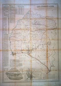
  10. Geographical Mining Map of the Province of Huelva — joaquín gonzalo tarín., 1870
  11. Van Langren, H. F., Extra & Accurata Delinerarie World Map — Hendrik Floris van Langren, 1595
  12. Untitled (AQTDSK) — george roux, 1890
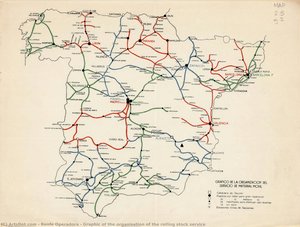
  13. Graphic of the organisation of the rolling stock service — renfe operadora, 1940
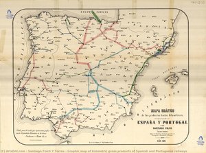
  14. Graphic map of kilometric gross products of Spanish and Portuguese railways — Santiago Folch y Torres, 1881
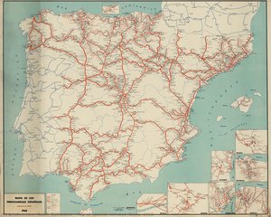
  15. Map of Spanish railways (Renfe, 1968) — renfe operadora, 1968
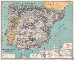
  16. Map of Spanish railways published by Renfe on the occasion of the 17th International Railway Congress — renfe operadora, 1958
  17. Map Of The Russian Empire, In Europe And Asia, From 'atlas De Toutes Les Parties Connues Du Globe Te — rigobert bonne (charles marie rigobert bonne)
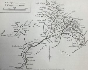
  18. Provisional planning for Partition on 8 August 1947 — National Rail Museum, Delhi, 1947
  19. Map of the railways in operation, under construction and in the works in Spain (1931 edition) — Alfredo Forcano Catalán, 1931
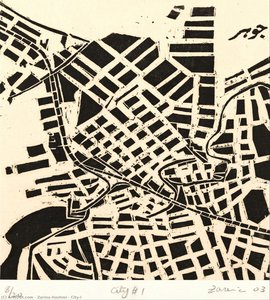
  20. City-I — Zarina Hashmi, 2003
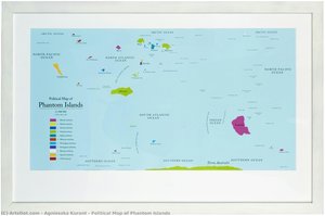
  21. Political Map of Phantom Islands — Agnieszka Kurant
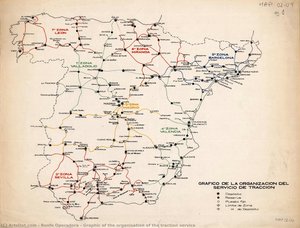
  22. Graphic of the organisation of the traction service — renfe operadora, 1940