
Showing 2 artworks with Pieter Schenck and with Topographical Map
-
Pieter Schenck
-
Topographical Map
Not available for this selection
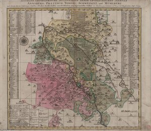
- Rosy Brown
- Celadon
Not available for this selection
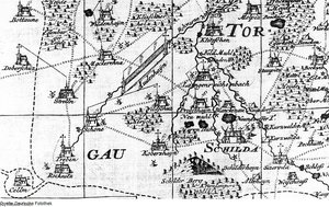


- Pieter Schenck Art
- Detailed Map Artwork
- Topographical Map
- 18Th Century Map
- Schenck Map Design
- Historical Illustration
- Pink & Green Map
- Liebenwerda Schlieben
- German Maps History
- Historical Cartography
- 17Th Century Print
- Antique Cartography
- Flemish Cartographer
- Ansbach Map
- Black And White Map
- Antique Map Art
- German Maps
- Old World Maps
- Vintage Map Art
- Old German Maps
- Electorate Saxony
- 17Th Century Map
- Map Collector
- European Cartography
Explore Pieter Schenck’s ‘Electorate Of Saxony,’ a detailed 18th-century map showcasing Ansbach & surrounding regions. Admire intricate cartography & historical precision.
Antique topographical map by Pieter Schenck (1660-1713) depicting Liebenwerda & Schlieben. Detailed 18th/19th century cartography, intricate design, historical significance. Explore this unique artwork!