

 Pregledaj u prostoru
 Pošalji
 Podeli
 Detalji o delu

 Преузми
 Slični predmeti
 Rendgenski snimak
 Slajdovi
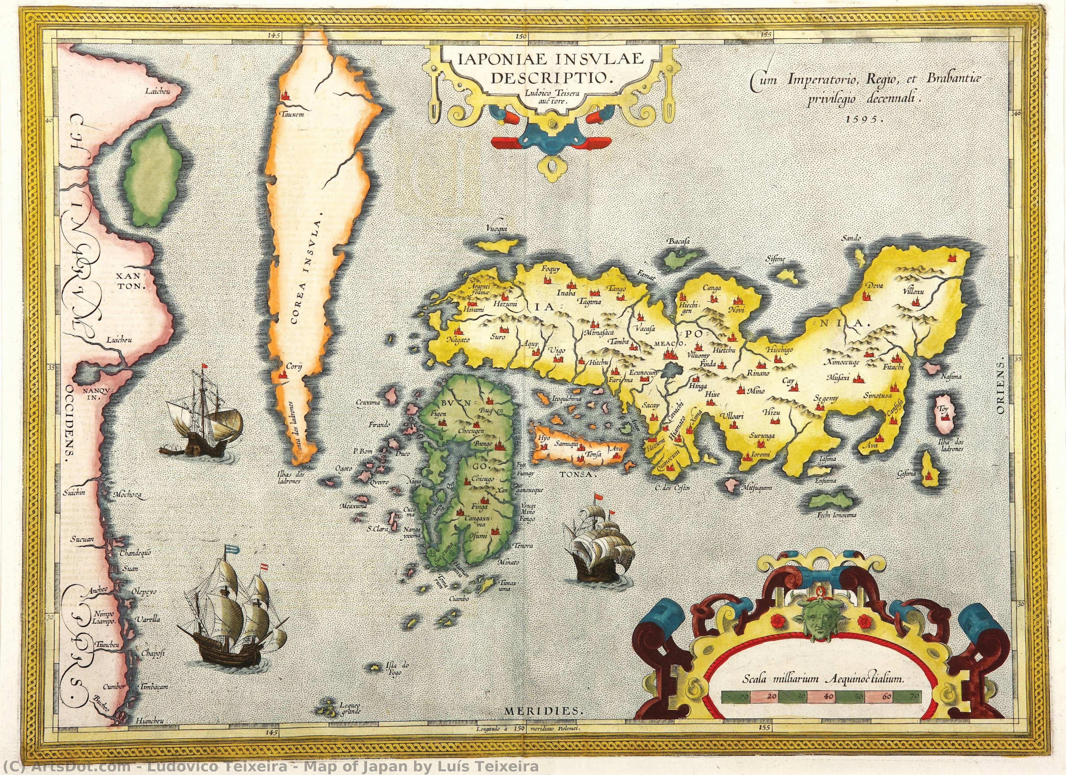
Map of Japan by Luís Teixeira


 Pročitaj više
Giclee štampa / Umetnički otisak
Giclée štampa ili print na platnu muzejskog kvaliteta uz brzu proizvodnju i fleksibilne opcije završne obrade. ( Kupi ručno naslikanu sliku Kupi digitalnu sliku)




































Izaberite jednu od naših unapred definisanih veličina koje odgovaraju originalnim proporcijama umetničkog dela.

Možete uneti sopstvene dimenzije kako biste umetničko delo prilagodili specifičnom okviru ili prostoru. Ako odabrani format ne odgovara proporcijama originalne slike, mi ćemo ili iscrtati deo dela ili proširiti sliku pomoću ogledane ivice ili jednobojnog popunjavanja. Digitalni prikaz će vam biti poslat na odobrenje pre početka proizvodnje.
Imajte na umu da pregled na ekranu ne odražava stvarno iscrtavanje ili proširivanje. Samo će prikaz (mockup) precizno pokazati finalnu kompoziciju.
Iako su prilagođene dimenzije dostupne, preporučujemo da odaberete dimenziju sa unapred definisane liste kako biste očuvali originalne proporcije.
Dostava širom sveta () za 2 nedelje umesto uobičajenih 4/5 nedelja. (24 август)

Besplatna ekspresna dostava širom sveta

Visokokvalitetno laneno platno

Kompletno osiguranje transporta

Garancija povraćaja carine i uvoznih dažbina

Garancija vernosti boja

Politika povrata u roku od 60 dana (samo u slučaju nedostataka)

Garancija povrata novca od 100%

Popust pri grupnoj kupovini
 Opcija sa staklom dostupna je samo za dimenzije manje od 110 cm

Map of Japan by Luís Teixeira
Giclee štampa / Umetnički otisak
Dimenzije reprodukcije
-


Konačna cena
$ 62
Srodna umetnička dela







Biografija umetnika
The Cartographic Vision of Ludovico Teixeira
In the golden age of maritime discovery, when the edges of the known world were still shrouded in mystery and myth, Ludovico Teixeira emerged as a vital architect of human understanding. Born in Lisbon in 1564, a city then serving as the beating heart of a global maritime empire, Teixeira was destined to weave together the disciplines of mathematics and artistry. As the son of the esteemed cartographer Pero Fernandes, his very lineage was steeped in the precision of the compass and the ink of the navigator. His early life was shaped by the rigorous intellectual traditions of Portugal, evidenced by his formal examination by Pedro Nunes, the legendary cosmographer in chief. This foundational training allowed Teixeira to transcend simple drawing, elevating cartography into a profound scientific endeavor that sought to capture the true essence of our expanding world.
The work of Teixeira represents a breathtaking intersection of empirical science and aesthetic grace. He did not merely record coastlines; he interpreted the vast, undulating mysteries of the oceans and the distant reaches of far-off continents. His most celebrated contribution to the annals of geography lies in his collaboration with Abraham Ortelius for the monumental Theatrum Orbis Terrarum. Within this seminal atlas, Teixeira’s map of Japan, known as Iaponiae Insulae Descriptio, stands as a masterpiece of early modern cartography. At a time when much of the Far East remained an enigma to European eyes, his work provided a window of unprecedented clarity, blending meticulous detail with a sense of wonder that captured the imagination of scholars and explorers alike.
A Legacy Written in Ink and Exploration
Beyond the celebrated reaches of the Pacific, Teixeira’s intellect was deeply engaged with the burgeoning complexities of the Atlantic. His authorship of the Roteiro de todos os sinais... in 1586 serves as a testament to his role as a guardian of navigational knowledge. This vital atlas of the Brazilian coast was far more than a collection of charts; it was a sophisticated guide designed to assist navigators through the treacherous depths and hidden hazards of the South American shoreline. Through his precise documentation of depths, heights, and landmarks, Teixeira provided the essential tools that allowed for safer passage and more profound colonial expansion, effectively mapping the lifeblood of Portuguese maritime power.
The historical significance of Ludovico Teixeira cannot be overstated. He belonged to a rare breed of polymaths who understood that to map a territory was to possess it, both intellectually and politically. His ability to synthesize mathematical accuracy with the descriptive needs of explorers helped transition cartography from the realm of decorative art into a rigorous scientific discipline. Today, his works remain enduring symbols of an era defined by curiosity and courage, reminding us of a time when every new line drawn upon a parchment brought humanity one step closer to understanding the true scale and splendor of our planet.
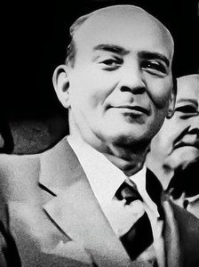
ludovico teixeira
1564 - 1613 , Portugal
Osnovne informacije
- Artistic Movement Or Style: Cartography and Mathematics
- Artists Who Influenced This Artist: ['Pero Fernandes']
- Date Of Birth: 1564
- Date Of Death: 1613
- Full Name: Ludovico Teixeira
- Nationality: Portuguese
- Notable Artworks:
- Iaponiae Insulae Descriptio
- Roteiro de todos os sinais
- Place Of Birth: Lisbon, Portugal
Povezani članci
Serenity on Canvas: A Guide to the Timeless Beauty of Japanese Landscape Painting
Discover the serene beauty of Japanese landscape painting. From Hokusai's iconic woodblock prints to meditative sumi-e ink washes, explore a visual journey through the 'floating world' and learn how to bring this timeless Zen aesthetic into your modern home decor.
Katsushika Hokusai: 25 Remek-dela Japanskog Umetnika za Vaš Dom | ArtsDot
Uronite u svet Katsushike Hokusaija! Otkrijte 25 remek-dela japanskog umetnika, uključujući čuveni 'Veliki talas'. Ukiyo-e štampe, pejzaži i istorija iza svakog dela. Pronađite inspiraciju za dekor enterijera i kupite reprodukcije slika vrhunskog kvaliteta na ArtsDot.com.
Floating World: The Captivating Art and Legacy of Japanese Ukiyo-e
Explore the profound beauty of Japanese Ukiyo-e. Discover the history, masters like Hokusai, and the enduring legacy of the 'Floating World' through an expert art-historical lens.
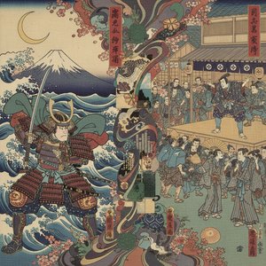
Utagawa Kuniyoshi: A Master of Japanese Ukiyo-e – Narrative Innovation & the Fusion of Tradition with Popular Culture
Explore the captivating world of Utagawa Kuniyoshi, a master of Japanese ukiyo-e woodblock prints. Discover his innovative warrior scenes, vibrant landscapes & lasting legacy in 19th-century art history.
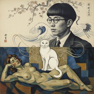
Léonard Foujita: A Poetic Synthesis of Japanese Sensibility & European Modernism
Discover the captivating world of Léonard Foujita, a master bridging Japanese aesthetics & European Modernism. Explore his signature style, diverse works, and enduring legacy – essential reading for discerning art collectors.

