 Preview
 Send
Send Share
Share
 Details

 Download
 Similars
 X-Ray
X-Ray Diaporama
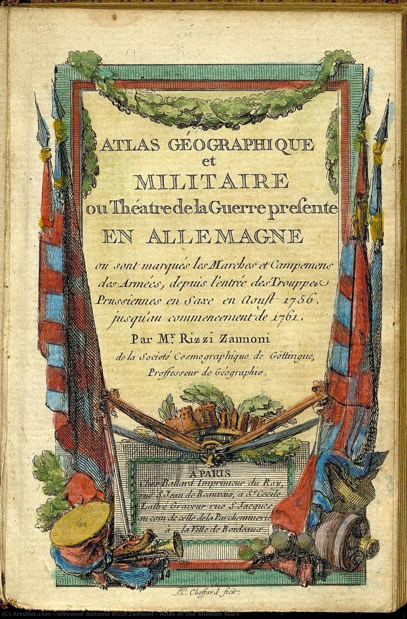
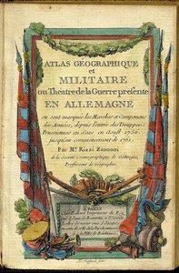
Atlas of the Silesian Wars


 Read More
Giclée / Art Print
Museum-quality giclée or canvas print with fast production and flexible finish options. ( Buy Hand Made Painting Buy Image)




































Pick from our preset sizes that match the artwork's original proportions.

You may enter your own dimensions to fit a specific frame or space. If your selected size does not match the original image's proportions, we will either crop the artwork or extend the image with a mirrored or solid-fill edge. A digital mockup will be sent for your approval before production begins.
Please note that the on-screen preview does not reflect the actual cropping or extension. Only the mockup will accurately show the final composition.
While custom sizes are available, we recommend selecting a dimension from the predefined list to preserve the original proportions.
Worldwide Delivery () in 2 weeks instead of standard 4/5 weeks. (6 September)

Free Worldwide Express Shipping

High-Quality Linen Canvas

Full Shipping Insurance

Customs Tax Refund Guarantee

True Color Matching Guarantee

100-Day Return Policy (Defects Only)

100% Money-Back Guarantee

Bulk Discount Offer
 Glass option is only available in size under 110 CM

Atlas of the Silesian Wars
Giclée / Art Print
Reproduction Size
-


Total Price
$ 63
Related Artworks

Artist Biography
The Architect of Landscapes: The Life and Legacy of Giovanni Antonio Razzi-Zannoni
In the twilight of the Enlightenment, as the borders of Europe were being redrawn by the sweeping tides of revolution and Napoleonic ambition, one man sought to capture the very essence of the earth through the precise lens of science and art. Giovanni Antonio Bartolomeo Razzi-Zannoni was not merely a cartographer; he was a visual chronicler of a changing continent. Born in the intellectually vibrant atmosphere of Padua in 1736, his early years were shaped by the rigorous academic traditions of the University of Padua. Under the mentorship of luminaries such as the astronomer Giovanni Poleni, Razzi-Zannoni developed a profound reverence for observation and mathematical precision—traits that would later allow him to transform raw geographical data into breathtakingly detailed visual narratives.
His journey was one of vast movement and cultural immersion. Before establishing himself as a master of the map, he traversed the expansive landscapes of Turkey and Russia, expeditions that served as his true classroom. These travels exposed him to diverse surveying techniques and the rugged realities of fieldwork, instigating a deep understanding of how terrain dictates the flow of human history. This period of wandering was far from aimless; it was a foundational era where the artist-scientist learned to see the world not just as a collection of landmarks, but as a complex, interconnected web of topography and political significance.
From Polish Courts to Neapolitan Grandeur
The trajectory of Razzi-Zannoni’s career took a decisive turn in 1753 when he arrived in Poland. Summoned by King Augustus III, he found himself embedded in the sophisticated scientific circles of the Polish court, working alongside influential patrons like Count Andrzej Stanisław Czartoryski. It was here that his talent for meticulous documentation began to flourish. Serving as a cartographer’s assistant, he mastered the cutting-edge instrumentation of the era, learning to marry the cold accuracy of geodetic science with an aesthetic elegance that made his maps as much works of art as they were tools of statecraft.
As his reputation ascended, so did the scale of his commissions. Razzi-Zannoni became a sought-after figure for European powers, most notably serving the interests of Prussia under Frederick William II and later finding a profound professional home in Naples under Ferdinand IV. His work during this period reflected the profound anxieties of an age defined by conflict. He possessed a unique ability to document landscapes ravaged by war with a clinical accuracy that never sacrificed the evocative beauty of the terrain. His maps were not static images; they were living documents that captured the shifting frontiers and the heavy atmosphere of the Napoleonic era.
The Zenith of Cartographic Artistry
Perhaps the most enduring testament to his genius is the Naples Atlas Geographico. This monumental undertaking represented the pinnacle of his career, a synthesis of years of painstaking topographic surveys and artistic mastery. In this work, Razzi-Zannoni achieved something rare: he provided a scientific record that functioned as a cultural monument. His ability to render the complex topography of Naples with such clarity and grace ensured that his maps remained indispensable for both military strategists and historians alike.
The historical significance of Giovanni Antonio Razzi-Zannoni lies in his role as a bridge between two worlds. He stood at the intersection of the scientific revolution and the romantic era, utilizing the tools of the former to preserve the beauty of the latter. His legacy is found in every line of his meticulously etched borders and every shaded contour of his mountains. Through his eyes, we see a Europe caught in the throes of transformation—a world being measured, mapped, and ultimately immortalized through the incomparable skill of a true pioneer of cartography.
giovanni antonio rizzi-zannoni
1736 - 1814 , Italy
Quick Facts
- Artistic Movement Or Style: Cartography
- Date Of Birth: September 2, 1736
- Date Of Death: May 20, 1814
- Full Name: Giovanni Antonio Razzi-Zannoni
- Nationality: Italian
- Notable Artworks: ['Atlas of the Silesian Wars']
- Place Of Birth: Padua, Italy