

 プレビュー
プレビュー
 シェアする
シェアする シェアする
シェアする
 詳細を見る
詳細を見る

 ダウンロード
 似ている作品
 X線調査
X線調査 スライドショー
 統計情報
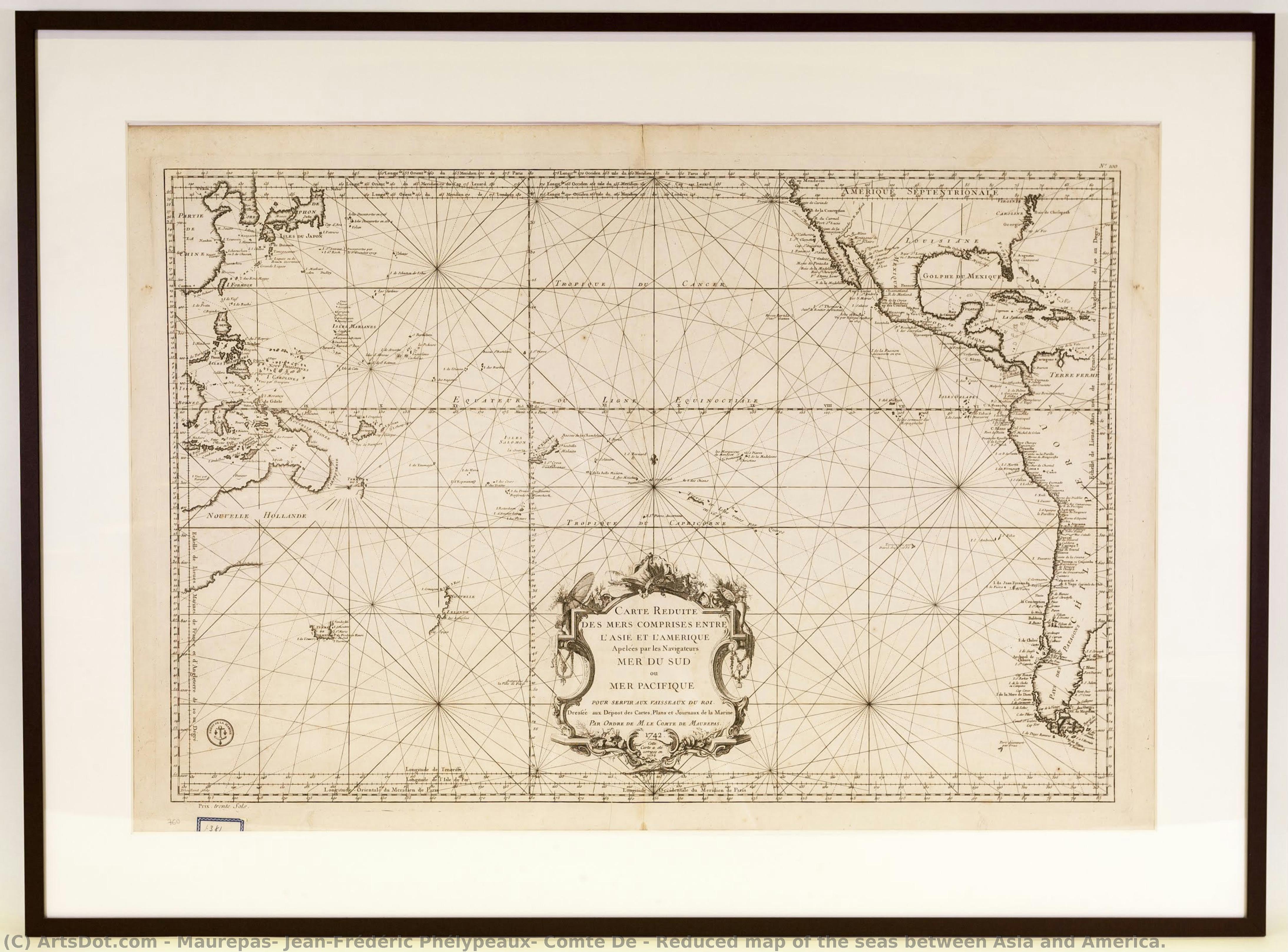
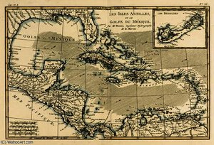
統計情報Reduced map of the seas between Asia and America.
 Other
Other 5.0 x 93.0 cm
 Maritime Museum of Barcelona
 詳細を見る
詳細を見る
オンラインプレビューをはるかに凌ぐ、高解像度で鮮明なデジタル画像をご購入いただけます。
各ファイルは、社内の専門家が高度なツールと熟練した手作業によるレタッチを用いて、細心の注意を払って準備されています。すべての画像において、卓越した鮮明度、正確な色彩再現性、そして繊細なディテールを保証いたします。
最終ファイルは、プロフェッショナルな編集・印刷環境ですぐにご利用いただけるよう最適化された状態で、72時間以内にメールにてお届けいたします。これは、一流のデザインスタジオ、出版社、ギャラリーから信頼されているものと同等の品質です。
デジタルアート
個人での鑑賞、印刷、クリエイティブなプロジェクト用に、高解像度ファイルをダウンロードできます。 ( プリント版に切り替え 手描きの絵画を購入)
デジタル画像のご注文に付随する特典
高品質なデジタル画像配信を、確かな品質で。
ArtsDot.com を選ぶことは、単に画像を手に入れることではありません。それは、プロの手によって精密に仕上げられ、満足保証が付いた高品質なデジタルアートワークを受け取ることを意味します。ご注文いただいた際に自動的に付随する内容は、以下の通りです:

メールですぐにお届け
ご注文から72時間以内に、高解像度のデジタル画像ファイルがメールでお手元に届きます。すぐにそのままご利用いただけます。

AI技術で最適化されたデジタルファイル
お客様の作品は、高度なAIツールと専門家による手作業の編集を組み合わせてプロフェッショナルに最適化されており、細部のディテール、鮮明さ、そして正確な色再現性を最大限に引き出しています。

一生涯無料の再送サービス
ファイルを誤って削除したり、紛失してしまったりしましたか?ご安心ください。いつでも無料で再送いたします。

輸入手数料は一切かかりません
関税や手数料、配送料を気にすることなく、お気に入りのアートワークをすぐにお楽しみいただけます。デジタルダウンロードは常に免税です。

色彩再現の保証
プロ仕様のツールとカラーマネジメント技術を用いることで、デジタル画像が元の色を最大限に忠実に再現することを保証いたします。

100日間満足保証
ご購入いただいたデジタル画像にご満足いただけない場合は、100日以内であれば、理由を問わず修正または100%の返金対応をさせていただきます。

100% 返金保証
ご満足いただけない場合は、デジタルファイルを受け取ってから100日以内であれば、理由を問わず全額返金いたします。

まとめ買い割引
3枚購入で10%OFF - 5枚購入で15%OFF - 10枚以上購入で20%OFF。クリエイティブなプロジェクト、ギャラリー、エージェンシーに最適です。
関連作品






作家の略歴
A Cartographer of the Enlightenment: The Legacy of Jean-Frédéric Phélypeaux
In the gilded era of the 18th century, where the boundaries of the known world were still being etched by the ink of explorers and the precision of scientists, Jean-FrEXdré Phélypeaux, Comte de Maurepas, emerged as a figure of profound influence. Born in Versailles in 1701 into a lineage of administrative nobility, his life was inextricably linked to the pulse of the French state. While history often remembers him through the lens of political power—as a statesman who navigated the complex reigns of Louis XV and Louis XVI—his true artistic and intellectual essence resided in the delicate intersection of geography and visual artistry. Maurepas did not merely observe the world; he sought to document it with a meticulousness that mirrored the burgeoning spirit of the Enlightenment.
His early years were steeped in an atmosphere of strategic importance and maritime tradition. Growing up under the shadow of his illustrious grandfather, Louis de Pontchartrain, Maurepas was raised to appreciate the vital connection between territorial knowledge and national sovereignty. This upbringing fostered a unique discipline, allowing him to approach cartography not just as a technical necessity, but as a fine art. During his formative period, he immersed himself in the study of geographical representation alongside luminaries such as Nicolas Cochin and Jean Picard. These interactions were transformative, exposing him to the cutting-edge scientific techniques of the age and instilling in him a profound respect for the marriage of aesthetic beauty and empirical accuracy.
The Artistry of Navigation and the Dépôt des Cartes
As Maurepas ascended to the directorship of the Dépôt des cartes et plans de la marine in 1720, his role transitioned from that of a student to a visionary architect of French maritime identity. Under his stewardship, the institution became much more than a repository for naval charts; it became a laboratory of visual excellence. He understood that a map was a powerful instrument of diplomacy and conquest, and therefore, it required an unparalleled level of craftsmanship. The charts produced under his guidance were characterized by a breathtaking clarity and an elegant use of detail that captured the vastness of unexplored territories with poetic precision.
His most significant achievements lay in the expansion of the French maritime horizon. Through his leadership, the Dépôt undertook monumental projects that sought to illuminate the mysteries of the globe. One of the most enduring legacies of this era was the creation of expansive works such as “Asia & America,” which served as a testament to the era's ambition. These maps were not merely navigational tools for sailors; they were masterpieces of graphic design that utilized intricate line work, delicate shading, and sophisticated typography to convey the complexity of the natural world. In these works, one can see the influence of the scientific revolution—a drive toward total accuracy tempered by the classical elegance of French decorative arts.
A Lasting Impression on History and Art
The historical significance of Maurepas extends far beyond the borders of France or the confines of naval administration. He stood at the crossroads of an era where the pursuit of knowledge was becoming a central pillar of human progress. By elevating cartography to a level of high artistic achievement, he helped shape the visual language of the Enlightenment. His work provided the intellectual and visual framework through which European powers perceived the vastness of the oceans and the potential of new continents.
Though his political career was marked by the turbulent shifts of the late 18th century, his contribution to the art of the map remains a serene and enduring monument to human curiosity. To look upon a chart from the era of Maurepas is to witness a moment in time when science and art were perfectly aligned, working in harmony to transform the unknown into the known. His legacy lives on in every meticulously drawn coastline and every elegantly rendered compass rose, reminding us of a time when the world was being rediscovered through the eyes of a true master of detail.
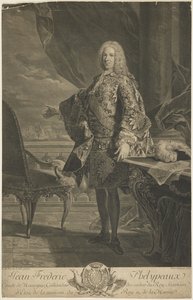
maurepas, jean-frédéric phélypeaux, comte de
1701 - 1781 , France
プロフィール概要
- Artistic Movement Or Style: Cartography
- Artists Or Movements Influenced By This Artist: ['European Navigation']
- Artists Who Influenced This Artist:
- Louis XIV
- Jérôme Phélypeaux
- Date Of Birth: July 9, 1701
- Full Name: Jean Frédéric Phélypeaux, Comte de Maurepas
- Nationality: French
- Notable Artworks: ['Reduced Map of the Seas']
- Place Of Birth: Versailles, France