

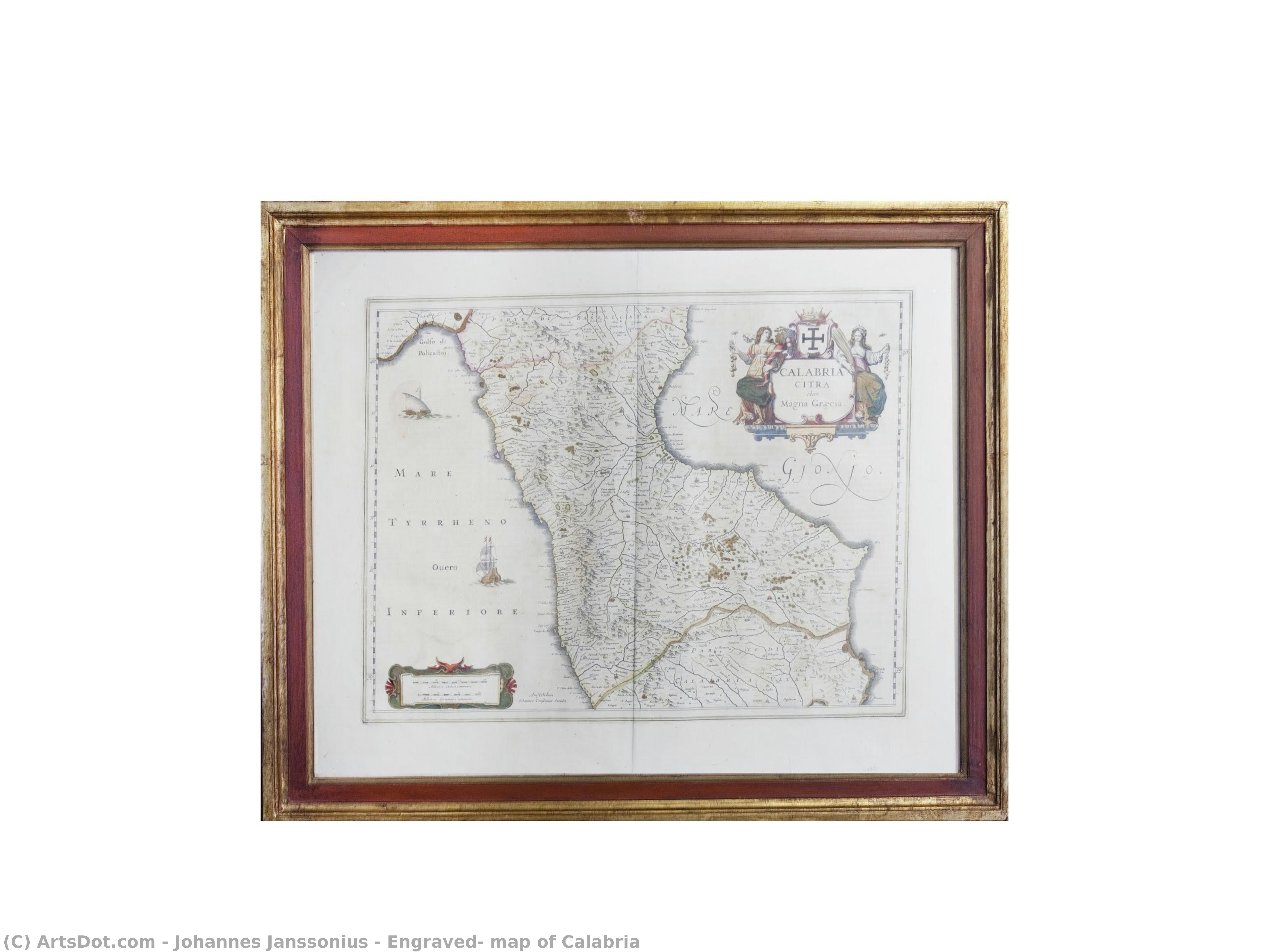
 Preview
 Send
Send Share
Share
 Details

 Download
 Similars
 X-Ray
X-Ray Diaporama
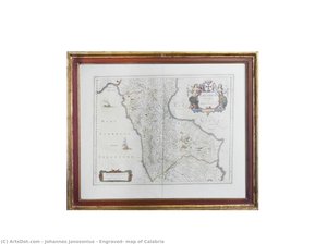
Engraved, map of Calabria

 Read More
Purchase a high-resolution, enhanced digital image, far superior to the online preview.
Each file is meticulously prepared by our in-house specialists using advanced tools and expert manual retouching. We ensure every image has exceptional clarity, precise color accuracy, and fine detail.
The final file is delivered via email within 72 hours, optimized for immediate use in professional, editorial, and print environments. This is the same quality trusted by top-tier design studios, publishers, and galleries.
Digital Image
Download a high-resolution file for personal display, printing, and creative projects. ( Buy Print Buy Hand Made Painting)
Included in Every Digital Image Order
Expert Digital Delivery, Guaranteed
When you choose ArtsDot.com, you're not just getting an image - you're receiving a professionally enhanced digital artwork, crafted with precision and backed by a satisfaction guarantee. Here's everything that comes with your order, automatically:

Fast Email Delivery
Your high-resolution digital image file will be emailed to you within 72 hours of ordering - ready for immediate use.

AI-Enhanced Digital File
Your artwork is professionally optimized using advanced AI tools and manual editing, ensuring maximum detail, clarity, and color accuracy.

Free Lifetime Re-Delivery
Accidentally deleted or lost your file? No worries - we'll resend it to you anytime, free of charge.

No Import Fees - Ever
Enjoy your artwork instantly with zero customs, duties, or delivery fees - digital downloads are always tax-free.

Color Accuracy Guarantee
We ensure your digital image reflects the original colors as closely as possible using professional tools and color management.

60-Day Satisfaction Guarantee
If you're not satisfied with your digital image, we'll revise it or refund 100% within 60 days - no questions asked.

100% Money-Back Guarantee
Not satisfied? Get a full refund within 60 days of receiving your digital file - no questions asked.

Bulk Order Discounts
Buy 3 images, save 10% - Buy 5, save 15% - Buy 10+, save 20%. Great for creative projects, galleries, and agencies.
Collectible Description
Related Artworks

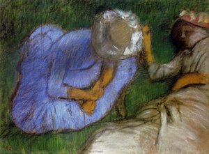
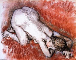
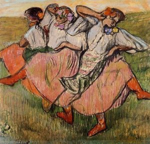
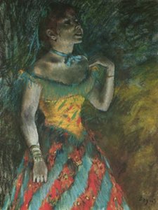
Artist Biography
The Architect of the Known World: The Life and Legacy of Johannes Janssonius
In the vibrant, salt-aired atmosphere of the seventeenth-century Netherlands, a period defined by unparalleled maritime prowess and intellectual expansion, few figures captured the essence of human curiosity as profoundly as Johannes Janssonius. Born in 1588 in Arnhem to a family deeply embedded in the scholarly traditions of printing, Janssonius was destined to become more than a mere merchant of paper; he was a visionary who helped define the boundaries of the known world. His life, spanning the golden age of Dutch cartography, was a masterful blend of scientific precision and artistic elegance, transforming the cold data of geography into works of breathtaking beauty that served both the navigator and the connoisseur.
The trajectory of Janssonius’s career was irrevocably shaped by his strategic and personal connections to the great dynasties of Dutch publishing. Through his marriage to the daughter of the legendary cartographer Jodocus Hondius, he did not merely enter a family; he entered an intellectual lineage. This union facilitated a formidable creative partnership with his brother-in-law, Hendrick Hondius, leading to the establishment of the renowned Mercator & Hondius publishing house. Within this crucible of innovation, Janssonius refined a style that balanced the rigorous demands of accuracy with the aesthetic splendor expected by the burgeoning European middle class. His early works, including detailed depictions of France and Italy, served as the foundational stones for a career built on the meticulous rendering of terrain, coastlines, and the intricate ornamentation that characterized the era.
The Grandeur of the Atlas Novus
The zenith of Janssonius’s contribution to the world of print was undoubtedly the production of the Atlas Novus. This monumental undertaking was not merely a collection of maps but a sprawling, multi-volume encyclopedia of the Earth's surface that captured the imagination of a continent. As the work expanded through the mid-1640s, it became one of the most ambitious cartographic projects ever attempted, showcasing an incredible breadth of geographical knowledge. To hold a volume of the Atlas Novus was to hold the world itself; each page offered a window into distant lands, adorned with exquisite engravings that featured mythical sea creatures, allegorical figures, and detailed vignettes of local customs.
The technical mastery displayed in these works reflected the pinnacle of Dutch engraving techniques. Janssonius possessed an uncanny ability to utilize fine lines and delicate shading to convey depth, texture, and movement. His maps were characterized by:
- Intricate Border Decorations: Elaborate frames that often contained symbolic imagery representing the virtues of exploration and the bounty of nature.
- Cartographic Precision: A dedication to updating geographical details as new maritime discoveries reached the ports of Amsterdam.
- Artistic Ornamentation: The seamless integration of decorative elements, such as compass roses and heraldic crests, which elevated a functional tool into a piece of fine art.
A Lasting Impression on the Golden Age
Beyond the physical beauty of his prints, the historical significance of Johannes Janssonius lies in his role as a primary conduit for the dissemination of knowledge. During an era when the Dutch Republic was becoming the center of global trade, Jansson_ius provided the visual language necessary to navigate and understand this new, interconnected reality. He did not simply record geography; he helped construct the European perception of global space. His work bridged the gap between the medieval concept of a mysterious, uncharted wilderness and the modern era of scientific exploration.
As we look back upon his life from his passing in Amsterdam in 1664, we see an artist whose influence persists in every map that seeks to marry truth with beauty. Janssonius remains a titan of the Dutch Golden Age, a man who understood that to map a territory is to claim it, and to illustrate it is to immortalize it. His legacy lives on in the museums and archives of the world, where his meticulously crafted engravings continue to whisper stories of discovery, ambition, and the eternal human desire to see what lies beyond the horizon.
johannes janssonius
1588 - 1664 , Netherlands
Quick Facts
- Artistic Movement Or Style: Early Mapmaking
- Artists Or Movements Influenced By This Artist: ['Cartography']
- Artists Who Influenced This Artist:
- Blaeu
- Mercator
- Date Of Birth: 1588 Arnhem Netherlands
- Date Of Death: 1664 Amsterdam Netherlands
- Full Name: Johannes Janssonius
- Nationality: Dutch
- Notable Artworks:
- Stiftskirche St. Johann Regensburg
- Propsteikirche Dortmund
- Place Of Birth: Arnhem Netherlands

