 Preview
 Send
Send Share
Share
 Details

 Download
 Similars
 X-Ray
X-Ray Diaporama
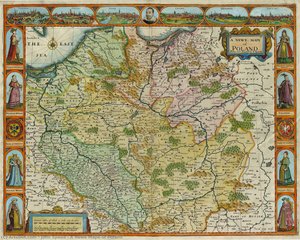
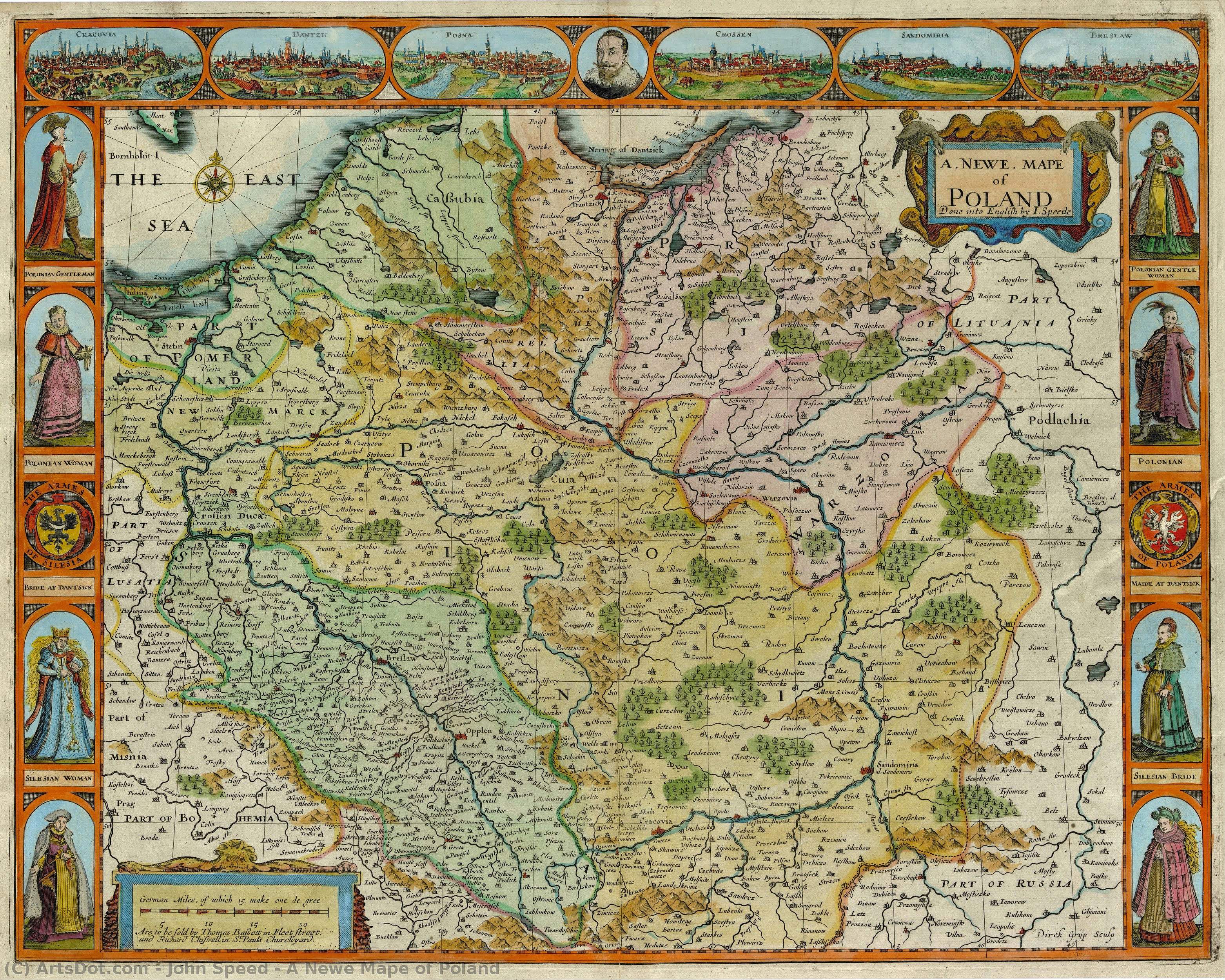
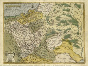
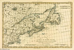
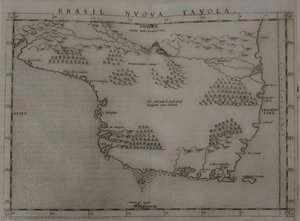
A Newe Mape of Poland


 Read More
Hand Made Oil Reproduction
Hand-painted oil on canvas in your size and frame, made to order by our artists. ( Buy Print Buy Image)




P118B $10

P118H $10

P118W $10

P438Z $10

P508JH $12

P508YH $12

P805H $10

P805Z $10

P919BZ $10

P919G $10

P919XJ $10

P959ZH $10

P968JZ $12

W106C $8

W218G $10

W218JH $8

W218Y $10

W307PJ $10

W316G $10

W316PJ $8

W316Y $10

W398PJ $8

W4111J $10

W500HY $15

W500JH $15

W692G $12

W849H $8

W940BG $15

W953PJ $8




Pick from our preset sizes that match the artwork's original proportions.

You may enter your own dimensions to fit a specific frame or space. If your selected size does not match the original image's proportions, we will either crop the artwork or extend the painting with additional hand-painted elements. A digital mockup will be sent for your approval before production begins.
Please note that the on-screen preview does not reflect the actual cropping or extension. Only the mockup will accurately show the final composition.
While custom sizes are available, we recommend selecting a dimension from the predefined list to preserve the original proportions.
After order, ArtsDot.com team will email client for instructions and provide a mockup preview
Worldwide Delivery () in 3/4 weeks instead of standard 5 weeks. (17 August). No compromise on quality.

Free Worldwide Express Shipping

High-Quality Linen Canvas

Full Shipping Insurance

Customs Tax Refund Guarantee

True Color Matching Guarantee

60-Day Return Policy (Defects Only)

100% Money-Back Guarantee

Bulk Discount Offer
 Glass option is only available in size under 110 CM

A Newe Mape of Poland
Reproduction Medium
Reproduction Size
-


Total Price
$ 263
Artwork Description
Related Artworks
Artist Biography
John Speed: Cartographer of a Nation’s Soul
John Speed, born in the Cheshire village of Farndon around 1551 or 1552 and passing away in 1629, stands as one of the most pivotal figures in early English cartography. More than simply a mapmaker, he was a historian, a chronologer, and a crucial architect in shaping the nascent concept of British national identity. His work transcended mere geographical representation; it became a powerful tool for asserting authority, solidifying claims to territory, and ultimately, defining what it meant to be English during a period of immense political and social transformation. His legacy is not just found within meticulously drawn maps but in the very fabric of how England perceived itself.Early Life and Mercantile Beginnings
Speed’s origins were firmly rooted in the bustling world of London trade. His father, John Speed, gained the freedom of the Merchant Taylors' Company – a prestigious guild signifying mastery of commerce – in 1556. Following in his father’s footsteps, young John initially pursued mercantile endeavors in London, securing his own freedom within the same esteemed company by patrimony in 1580. This early exposure to trade and the intricacies of business undoubtedly informed his later work, instilling a keen eye for detail and an understanding of the interconnectedness of regions. He married Susanna Draper in 1571 or 1572, beginning a family that would include twelve sons and six daughters – most notably, John Speed, M.D., who continued his father’s legacy of scholarship. The Speed family's relative prosperity provided him with the resources to pursue his intellectual ambitions, though not without the constraints of maintaining a household and managing mercantile affairs.Patronage and Scholarly Pursuits
Speed’s talent didn’t go unnoticed within London’s learned circles. Sir Fulke Greville, a prominent patron of the arts and sciences, recognized Speed's potential and provided him with an allowance – a significant investment in his research endeavors. This patronage proved instrumental, allowing Speed to dedicate himself fully to his cartographic and historical pursuits. Around 1590, he collaborated closely with Hugh Broughton, a Puritan scholar, on projects related to the genealogies of Jesus Christ. This association brought him into contact with intellectual currents shaping religious thought at the time, influencing his approach to historical research and potentially informing the meticulous detail found in his maps. By 1595, Speed had already produced a groundbreaking map of biblical Canaan – a remarkable undertaking that demonstrated his mastery of both cartographic techniques and biblical scholarship. His presentation of these maps to Queen Elizabeth I in 1598 secured royal recognition and ultimately led to his appointment as a “Waiter” (a customs officer), reflecting the esteem in which he was held by the court.Mapping Britain: Innovation and Legacy
Speed’s most enduring contribution lies in his monumental work, *A Newe Mappe of Great Britaine*, published in 1598. This map wasn't simply a representation of existing knowledge; it was a synthesis of numerous sources, incorporating the work of earlier cartographers like Christopher Saxton, John Norden, and others. Crucially, Speed innovated by integrating the hundred-boundaries – divisions of land based on ancient administrative units – into his maps, providing a more accurate and detailed depiction of British topography than had previously been achieved. This detail was not merely aesthetic; it reflected a growing awareness of regional identities and a desire to codify knowledge about the country’s diverse landscape. His work also included extensive historical annotations, weaving together accounts of kings, battles, and local customs, effectively creating a visual history of Britain. The inclusion of town plans within the maps further enhanced their utility, providing valuable information for merchants, travelers, and administrators.Beyond Maps: Biblical Genealogies and National Identity
Speed’s influence extended beyond cartography into the realm of biblical scholarship. He contributed a genealogical frontispiece to Thomas Speght's edition of Geoffrey Chaucer’s works in 1602, demonstrating his expertise in heraldry and historical research. His work on biblical genealogies was formally associated with the first edition of the King James Bible, solidifying his place within the cultural and religious landscape of early modern England. Ultimately, Speed's maps played a significant role in shaping early modern concepts of British national identity – providing a visual framework for understanding the country’s geography, history, and political boundaries. His meticulous research and innovative cartographic techniques cemented his reputation as one of the most important mapmakers of his era, leaving an indelible mark on the way England perceived itself and its place in the world.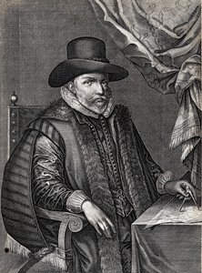
John Speed
1551 - 1629 , United Kingdom
Quick Facts
- Artistic Movement Or Style: Cartography, History
- Artists Or Movements Influenced By This Artist: ['Early modern British identity']
- Artists Who Influenced This Artist:
- Christopher Saxton
- John Norden
- Date Of Birth: 1551 or 1552
- Date Of Death: 1629
- Full Name: John Speed
- Nationality: English
- Notable Artworks:
- A Newe Mape of Poland
- Biblical genealogies
- Place Of Birth: Farndon, United Kingdom
Related Articles
John Singer Sargent's 25 Masterpieces: Portraits & Beyond | ArtsDot
Explore 25 iconic John Singer Sargent paintings – from dazzling portraits to Impressionist landscapes. Discover the stories behind Madame X, El Jaleo & more! Find museum-quality art reproductions and elevate your home decor with ArtsDot.com.
John Constable's Masterpieces: Explore 25 Iconic Landscapes for Your Home
Journey through John Constable's 25 most celebrated landscapes. Explore Romanticism, Dedham Vale & his masterful use of light in iconic paintings like 'Hay Wain'. Find museum-quality art reproductions and elevate your home decor on ArtsDot.com.
Masterpieces of the 17th Century: Art, History & Decor Inspiration | ArtsDot
Journey through 17th century art with masterpieces by Rembrandt, Vermeer & Caravaggio. Explore Baroque paintings, Dutch Golden Age techniques & timeless beauty. Find museum-quality reproductions and elevate your home decor on ArtsDot.com.
Gwen John: Intimacy, Modernity & the Quiet Power of Welsh Portraiture
Explore the captivating world of Gwen John, a pioneering Welsh artist renowned for her intimate portraits & subtle style. Discover her life, legacy, and how to bring her timeless beauty into your home with ArtsDot.
John Frederick Lewis: Orientalism, Detail & Genre Painting in 19th-Century British Art
Explore the captivating Orientalist paintings of John Frederick Lewis! Discover his mastery of detail, genre scenes & influence on 19th-century British art. Learn about his life, techniques & legacy at ArtsDot.